Drone technology has made it possible to quickly and objectively analyze nature over large areas in high resolution. By combining these high-resolution images with advanced image analysis, ecologists and environmental consultants can, for example, quickly and efficiently document and evaluate restoration measures in both the short and long term.
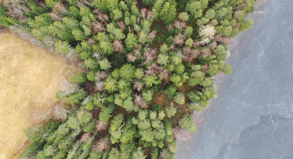
One example is Stekenjokk in Västerbotten, a former mining area where Ecogain this summer carried out drone mapping to monitor how nature has recovered after previous after-treatment.
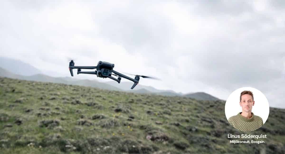
- The drones make it possible to collect very detailed data over large areas in a short time in a standardized way. Data that we can use to estimate vegetation type, coverage and assess soil conditions and see changes over time," says Linus Söderquist, environmental consultant at Ecogain.
The mapping included both general aerial surveys of about 25 hectares across the entire site, as well as high-resolution documentation of sample plots with a resolution down to half a centimeter per pixel - significantly higher than most available orthophotos. Using machine learning, vegetation cover was quantified across the site and used to evaluate restoration actions.
- This is a simple and effective way to document, analyse and visualize changes in nature. By using the same flight path again, tomorrow or several years in the future, we can follow how the area has evolved," says Linus.
Contact us for more information
If you are facing similar restoration projects or want to know more about how drone data can be used in your work - contact David Israelsson, Business Manager Team NVI, Ecogain.